
Karura Northern Forest Connector
On foot
checked 11 August 2026
- Distance
- 3.4km
- Climb
- 50m
- Est. time
- 0:57
Download the line
A GPX file with all 83 recorded points. It opens in Garmin, OsmAnd, Gaia GPS and Panya. It has the line only, with no turn guidance.
About this route
A forest walk from Junction 30 toward the Wangari Maathai and Fika area in northern Karura Forest.
Before you go
Some facts need a new check. We hide old amounts, permits, hours and contacts below.
What it costs
Karura individual annual pass
Friends of Karura Forest- Any adult, individual annual passflat
- KES 8,700.00
- FKF life member, individual annual passflat
- KES 5,800.00
Optional individual annual-pass prices published on the Karura essential-information page. This is not the day-entry price; the archived page links to a future 2027 day-fee notice, so no current day-entry amount is asserted.
Current. Karura Forest essential visitor information, checked 11 August 2026. Source
Permits
Karura Forest entry authorizationRequired
Use the current Karura entry and M-Pesa/eCitizen payment process described on the essential-information page.
Current. Karura Forest essential visitor information, checked 11 August 2026. Source
When to go
Karura current-notice conditions profile
Current. Karura Forest essential visitor information, checked 11 August 2026. Source
Gates, camps, fuel, and services
Northern Forest Connector access point
This is the exact mapped start of the accepted internal forest connector at Junction 30. Karura publishes controlled forest-entry hours and gates; this point is not asserted to be a perimeter gate.
Current. Karura Forest essential visitor information, checked 11 August 2026. Source
Elevation
50 m up, 74 m down
1,640 m to 1,700 m. Estimated from the route line, not from recorded runs.
Along the way
- 0.0 km
Karura Northern Forest Connector start
Exact first point of the accepted full-resolution GPX.
- 3.4 km
Karura Northern Forest Connector finish
Exact final point of the accepted full-resolution GPX.
Route visuals
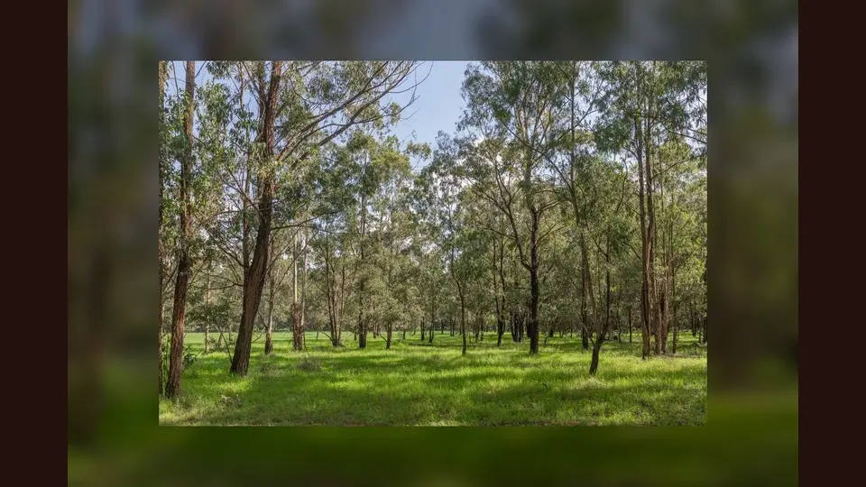
PhotographSigiria Forest. Commons describes this as Sigiria Forest, the northern Karura area; the exact connector alignment is not established.
Photo by Ninara · captured 2023-12-14
File:Karura Forest, Nairobi (53550853911).jpg by Ninara · CC BY 2.0
.jpg)
Changes: Resized, re-encoded, and composited on a blurred background by Panya Routes on 2026-08-11
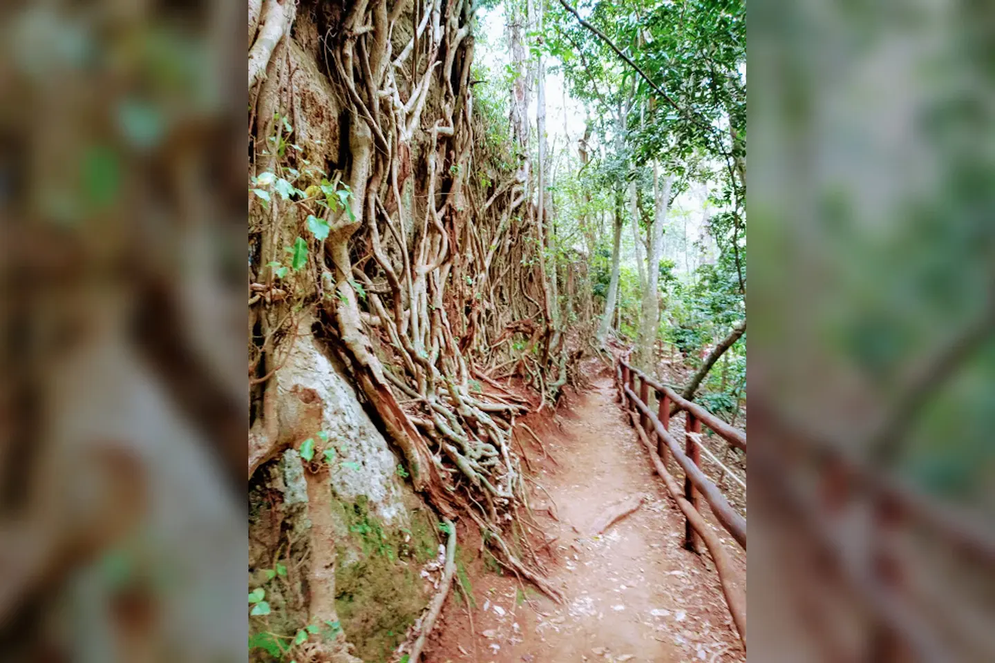
PhotographA hiking path in Karura forest with tree roots as a wall.. Commons identifies a rooted hiking path in Karura; it does not verify the current connector surface.
Photo by Mekami · captured 2019-08-16
File:Karura forest path.jpg by Mekami · CC BY-SA 4.0

Changes: Resized, re-encoded, and composited on a blurred background by Panya Routes on 2026-08-11
Adaptation license: CC BY-SA 4.0
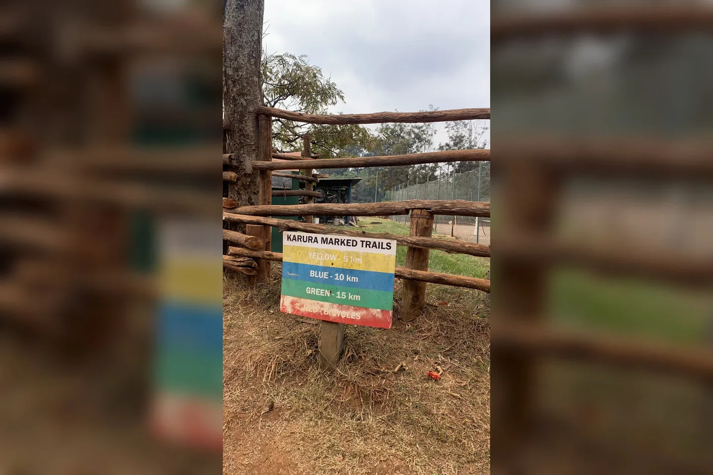
PhotographKarura Forest. Commons identifies marked Karura trails; it is wayfinding context, not a current turn instruction.
Photo by Najla Khairani Siregar · captured 2025-08-05
File:Karura Forest Marked Trails for visitors.jpg by Najla Khairani Siregar · CC BY-SA 4.0

Changes: Resized, re-encoded, and composited on a blurred background by Panya Routes on 2026-08-11
Adaptation license: CC BY-SA 4.0
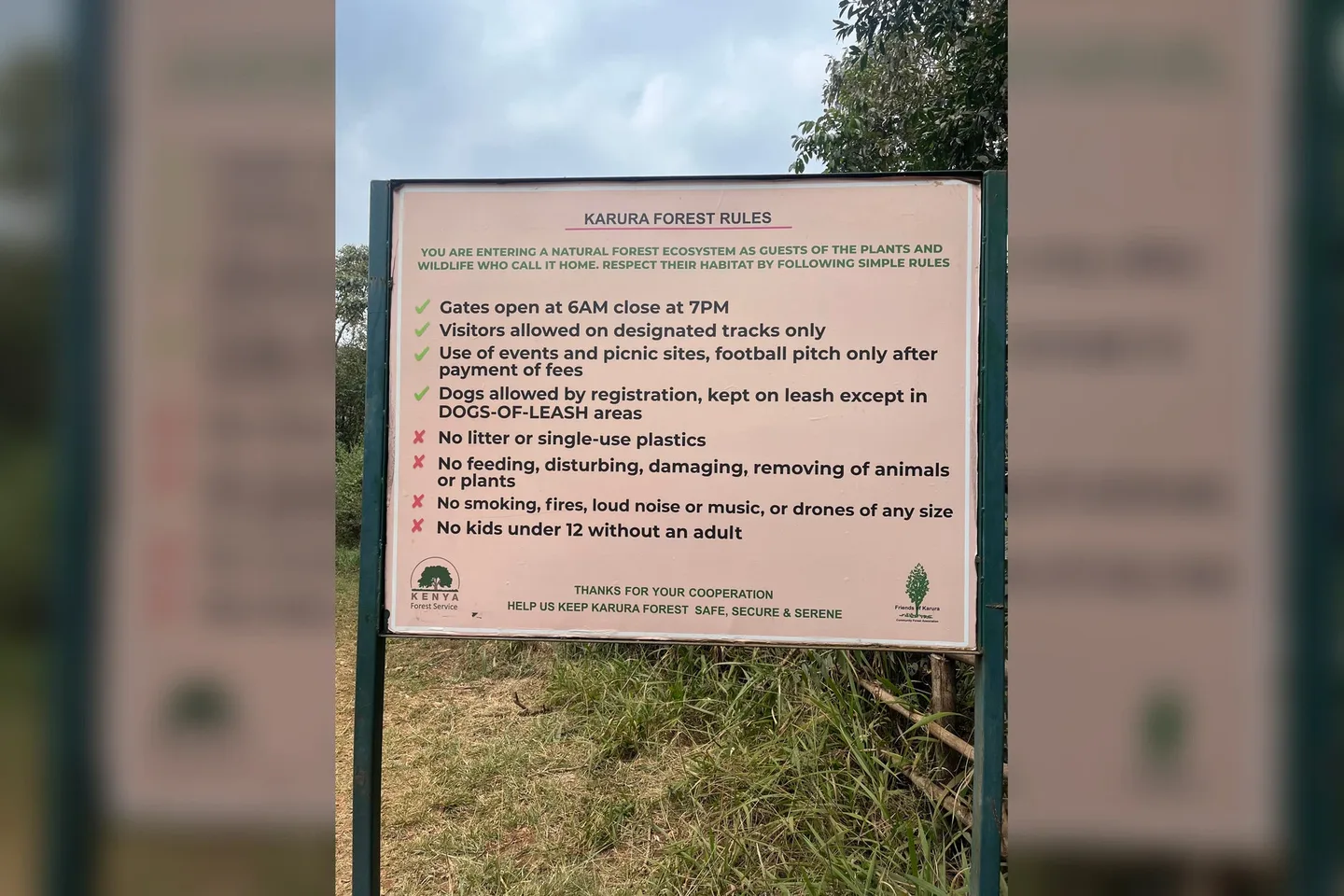
PhotographThe Karura Forest Rules Board. Commons identifies Karura Forest rules signage; current access rules and services require Friends of Karura/KFS confirmation.
Photo by Affandy Murad · captured 2025-08-05
File:Wikimania 2025 0 05 Aug 2025 Karura Forest Rules by Affandy Murad.jpg by Affandy Murad · CC BY-SA 4.0

Changes: Resized, re-encoded, and composited on a blurred background by Panya Routes on 2026-08-11
Adaptation license: CC BY-SA 4.0
Take this route offline
Download the line, facts and waypoints before you lose signal. Then follow the route in the app.