
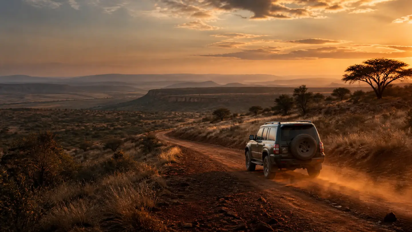

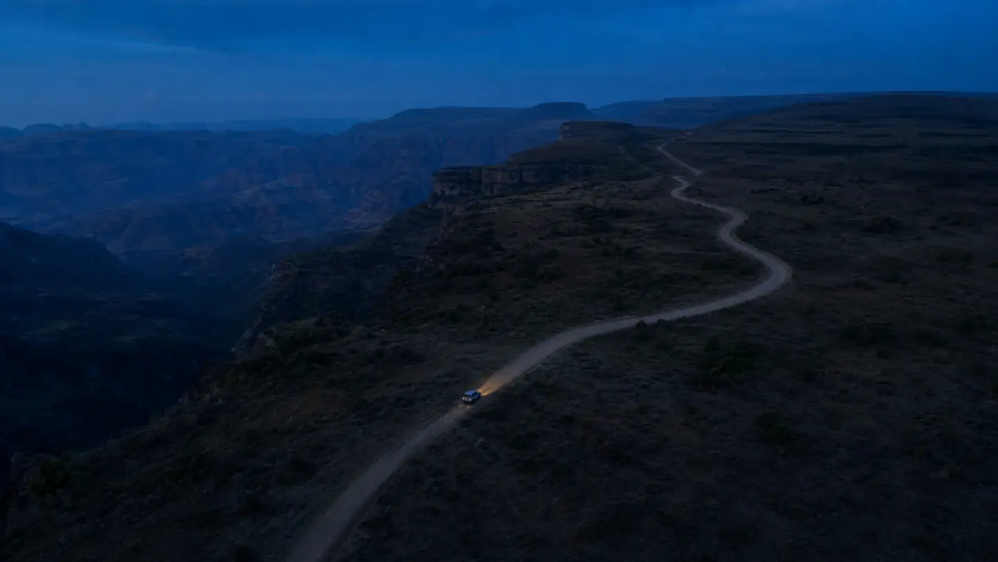
Discover new routes. Go beyond the familiar.
Explore routes across Kenya, understand what the journey demands, and download the map and waypoints before coverage fades.

Choose the journey with a clearer view.
A technical section close to Nairobi and a long gravel route far from fuel can both demand preparation. Panya keeps terrain and remoteness separate so you can understand the journey before you go.
What the terrain demands
Panya grades terrain from reviewed route evidence. For driving routes, the app can also compare those requirements with the vehicle in your garage.
- Sealed
- Easy
- Medium
- Hard
- Extreme
How remote the journey is
Commitment combines distance, time, fuel, settlements and elevation along the complete route.
- Close to help
- Half day out
- Remote
- Expedition

Signal fades. The route stays.
Download the line, map, waypoints and grading before you leave. The information that matters remains on the phone when coverage does not.
Carry the whole route
Route line, map tiles, waypoints and grading stay together.
Navigate without data
Guidance uses the route already downloaded to the phone.
Record privately
A private activity does not become a public route or safety claim.
Every published route has to earn its place.
Each route appears only after its complete line, grading, practical facts, photographs and independent review are ready.
The first roads are still being checked
No route has passed the public release gate yet. Field work and review continue outside this marketing site; nothing here is counted early.
See what publication requiresFind your next route. Take it with you.
Save a route, download its line, map and waypoints, then record your journey as you go.