
Kisii to Kericho via Keroka and Sotik
Drive
checked 11 August 2026
- Distance
- 50.9km
- Climb
- 1,191m
- Est. time
- 2:06
Download the line
A GPX file with all 1211 recorded points. It opens in Garmin, OsmAnd, Gaia GPS and Panya. It has the line only, with no turn guidance.
About this route
A sealed road trip from Kisii to Kericho through Keroka, Sotik, Litein and Chemosit.
Before you go
Some facts need a new check. We hide old amounts, permits, hours and contacts below.
When to go
Route-specific current-conditions profile
Stale, check again. OpenStreetMap route snapshot: Kisii to Kericho via Keroka and Sotik, checked 10 August 2026. Source
Elevation
1,191 m up, 1,055 m down
1,400 m to 2,200 m. Estimated from the route line, not from recorded runs.
Along the way
- 0.0 km
Kisii to Kericho via Keroka and Sotik start
Exact first point of the accepted full-resolution GPX.
- 50.9 km
Kisii to Kericho via Keroka and Sotik finish
Exact final point of the accepted full-resolution GPX.
Route visuals

PhotographKeroka. Commons explicitly identifies Keroka, a named place on the route.
Photo by Banja-Frans Mulder · captured 2009-08-30
File:Keroka - panoramio.jpg by Banja-Frans Mulder · CC BY 3.0

Changes: Resized, re-encoded, and composited on a blurred background by Panya Routes on 2026-08-11
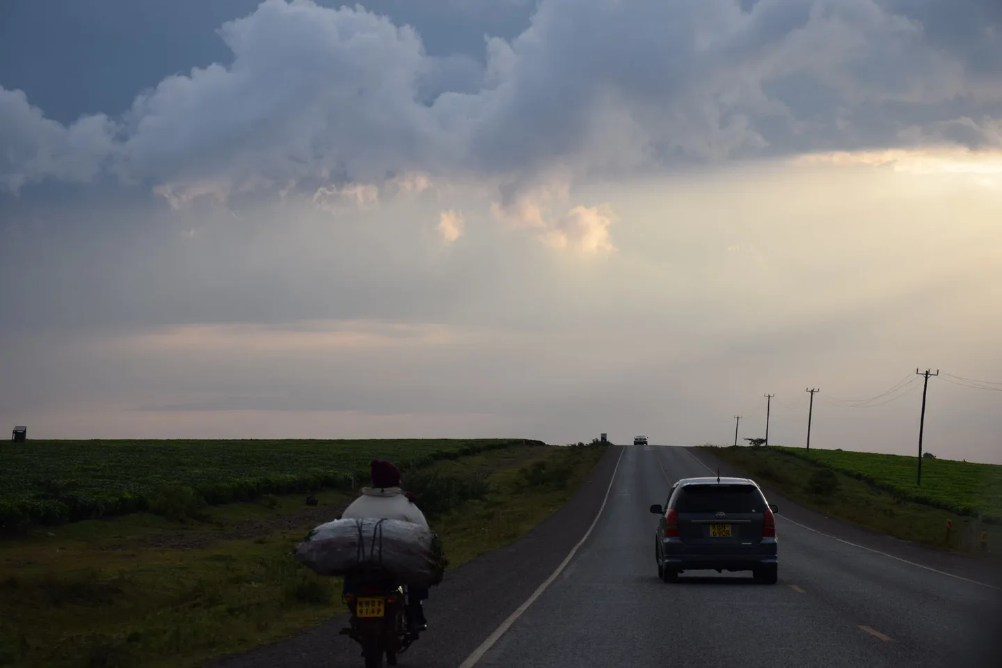
PhotographKisii to Kericho via Keroka and Sotik. Commons coordinates place this in the Kericho region; it is road context but the exact Kisii–Kericho segment is not established.
Photo by Alexandre Ultré · captured 2016-09-17
File:The Road 1 (173585739).jpeg by Alexandre Ultré · CC BY-SA 3.0
.jpeg)
Changes: Resized, re-encoded, and composited on a blurred background by Panya Routes on 2026-08-11
Adaptation license: CC BY-SA 3.0
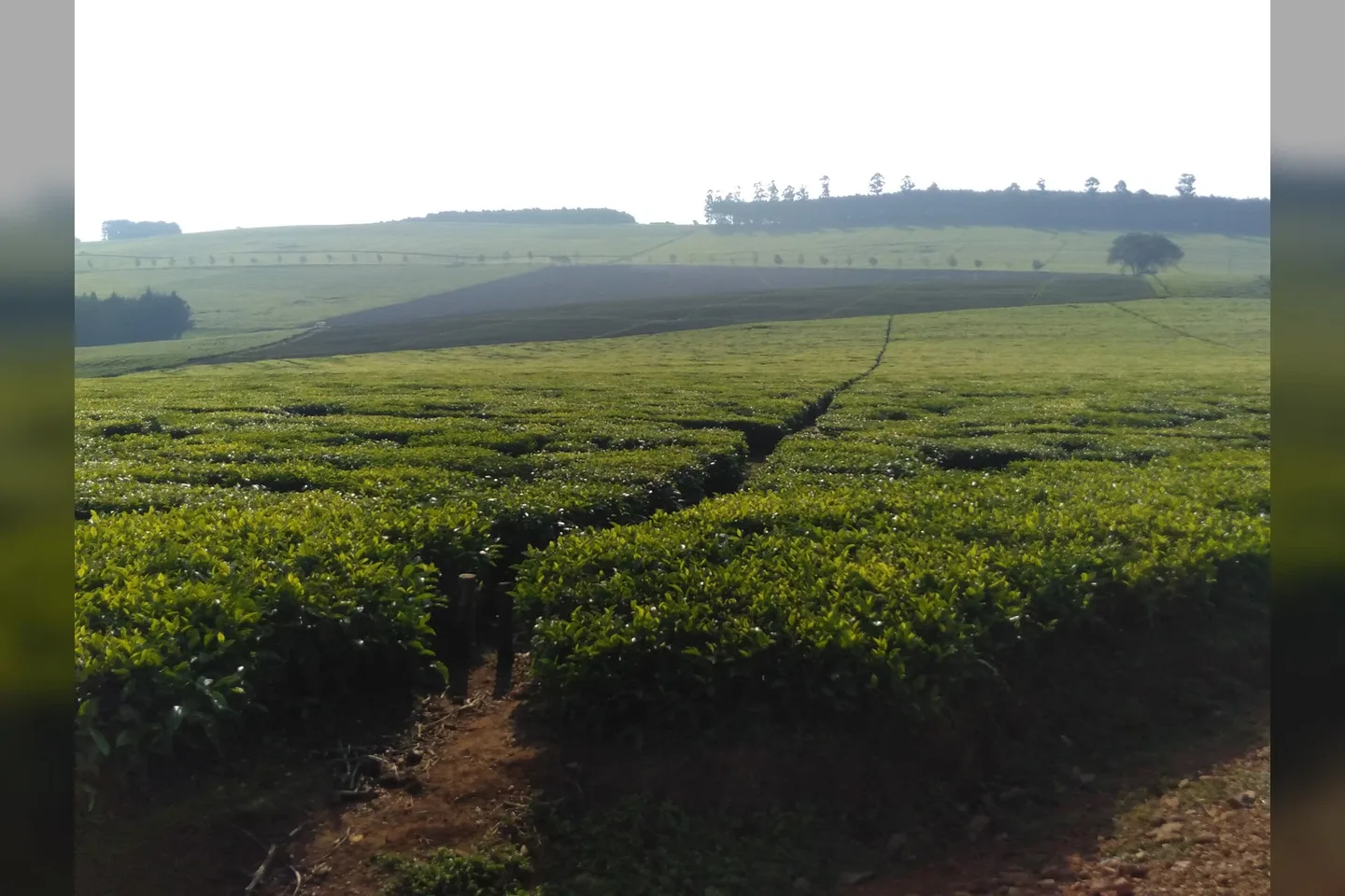
PhotographTea Plantation. Commons explicitly identifies Sotik, a named place on the route; it is landscape context, not a turn instruction.
Photo by Timmbau · captured 2020-07-04
File:Tea Plantation in Sotik, Kenya.jpg by Timmbau · CC BY-SA 4.0

Changes: Resized, re-encoded, and composited on a blurred background by Panya Routes on 2026-08-11
Adaptation license: CC BY-SA 4.0
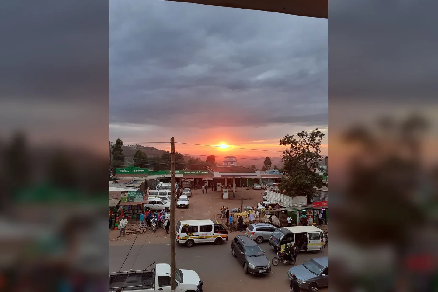
PhotographKeroka is a small town. But it's still the busiest and most important business hub for Nyamira County, Kenya. This picturesque photo, taken just before sunset, shows just how "chaotic" the traffic can get on the major-highway as everyone rushes home for a "matoke" banana stew dinner.. Commons explicitly identifies transport activity in Keroka; it does not confirm a particular service or timetable.
Photo by Douglas Mbura, CTO of GeoAppsmith (503-40502, Nyansiongo), · captured 2020-01-24
File:Keroka Town Transport.jpg by Douglas Mbura, CTO of GeoAppsmith (503-40502, Nyansiongo), · CC BY-SA 4.0

Changes: Resized, re-encoded, and composited on a blurred background by Panya Routes on 2026-08-11
Adaptation license: CC BY-SA 4.0
Can your vehicle do this?
Add your vehicle in the app to get the answer. Download the route before you lose signal.