
Magadi Road Escarpment
Drive
checked 11 August 2026
- Distance
- 17.4km
- Climb
- 305m
- Est. time
- 0:36
Download the line
A GPX file with all 333 recorded points. It opens in Garmin, OsmAnd, Gaia GPS and Panya. It has the line only, with no turn guidance.
About this route
A scenic sealed drive along Magadi Road across the Rift Valley escarpment.
Before you go
Some facts need a new check. We hide old amounts, permits, hours and contacts below.
When to go
Route-specific current-conditions profile
Stale, check again. OpenStreetMap route snapshot: Magadi Road Escarpment, checked 10 August 2026. Source
Elevation
305 m up, 606 m down
1,400 m to 2,200 m. Estimated from the route line, not from recorded runs.
Along the way
- 0.0 km
Magadi Road Escarpment start
Exact first point of the accepted full-resolution GPX.
- 17.4 km
Magadi Road Escarpment finish
Exact final point of the accepted full-resolution GPX.
Route visuals
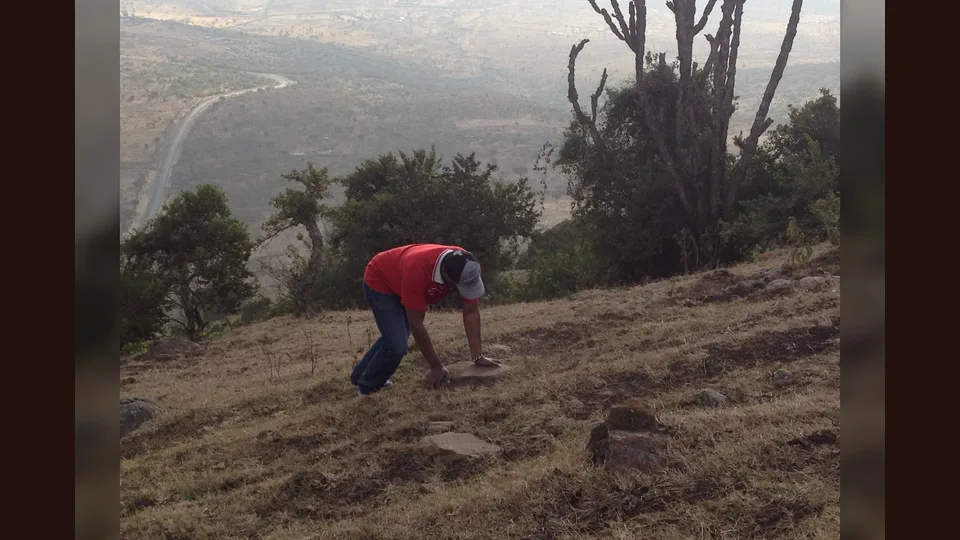
PhotographHiking on a steep ascent of Ngong Hills with a beautiful view of Magadi Road snaking its way below the valley.. Commons describes a Ngong Hills view of Magadi Road below; it is escarpment context and not an exact route-line claim.
Photo by JLukorito · captured 2016-09-17
File:Steep ascent on the Hill.jpg by JLukorito · CC BY-SA 4.0

Changes: Resized, re-encoded, and composited on a blurred background by Panya Routes on 2026-08-11
Adaptation license: CC BY-SA 4.0
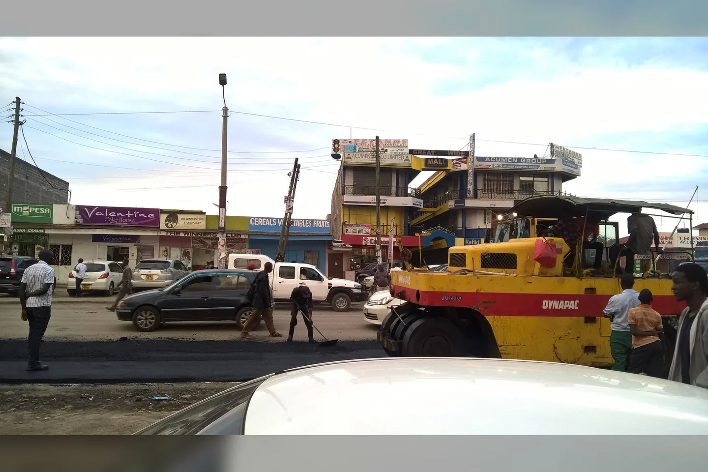
PhotographThis is an image of "African people at work" from. Commons identifies road works on Magadi Road at Ongata Rongai; the photograph does not show current conditions farther along the route.
Photo by User:Iamtembo · captured 2017-10-14
File:Magadi Road Works, Ongata Rongai, Kenya.jpg by User:Iamtembo · CC BY-SA 4.0

Changes: Resized, re-encoded, and composited on a blurred background by Panya Routes on 2026-08-11
Adaptation license: CC BY-SA 4.0
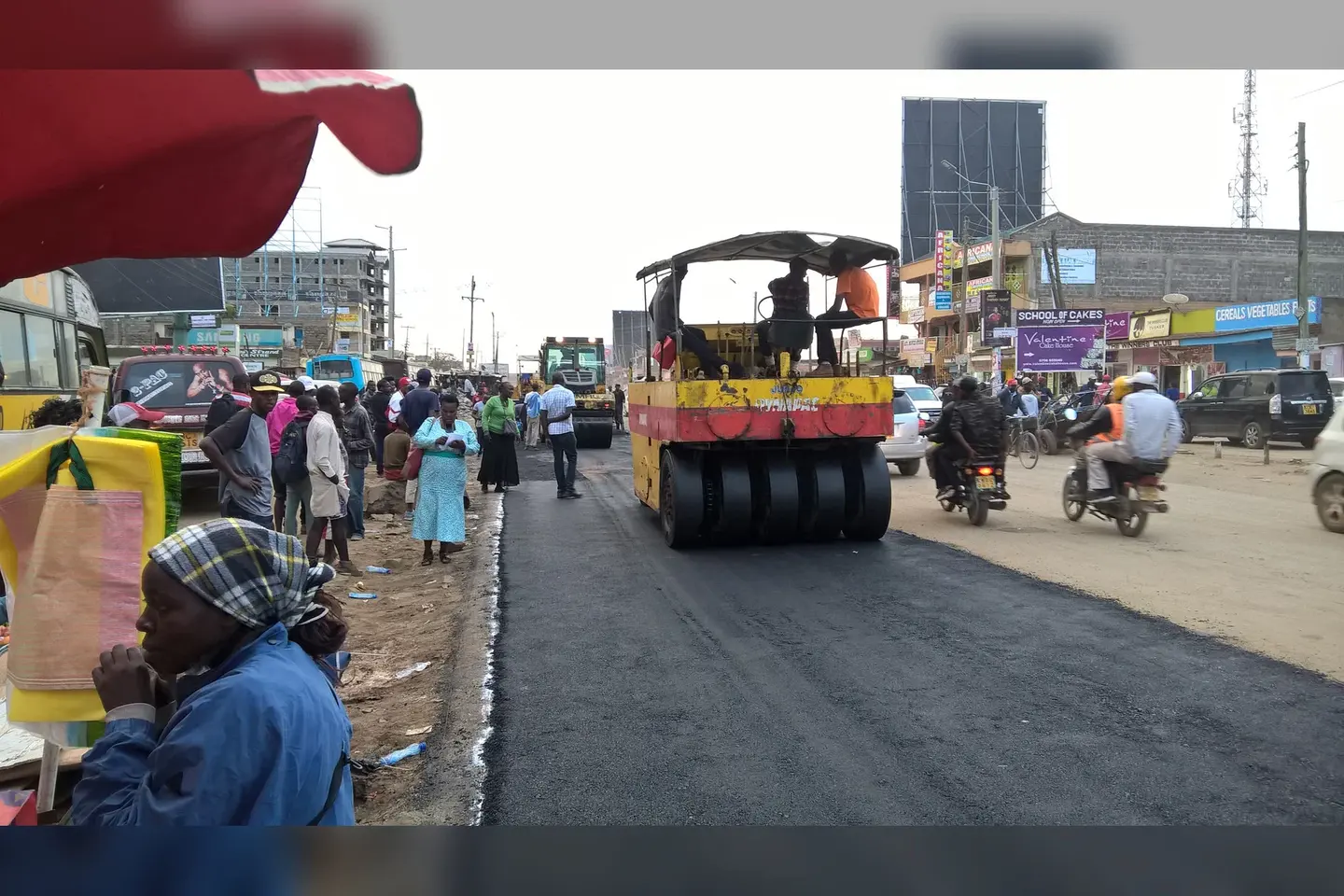
PhotographThis is an image of "African people at work" from. Commons identifies supervised road works on Magadi Road at Ongata Rongai; it is works context, not a live closure or turn instruction.
Photo by User:Iamtembo · captured 2017-10-14
File:Magadi Road works supervised, Ongata Rongai, Kenya.jpg by User:Iamtembo · CC BY-SA 4.0

Changes: Resized, re-encoded, and composited on a blurred background by Panya Routes on 2026-08-11
Adaptation license: CC BY-SA 4.0
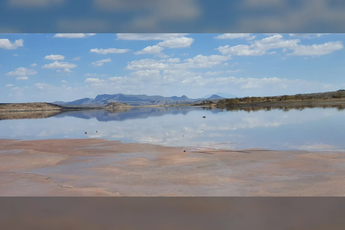
PhotographDriving to Lake Magadi, this view presents itself to the left of the lake. Commons identifies an entrance view near Lake Magadi; it does not establish gate status, hours, or services.
Photo by Kenenock · captured 2019-04-06
File:Lake Magadi Entrance.jpg by Kenenock · CC BY-SA 4.0

Changes: Resized, re-encoded, and composited on a blurred background by Panya Routes on 2026-08-11
Adaptation license: CC BY-SA 4.0
Can your vehicle do this?
Add your vehicle in the app to get the answer. Download the route before you lose signal.