
Mount Kenya Summit Circuit
On foot
checked 11 August 2026
- Distance
- 10.7km
- Climb
- 1,427m
- Est. time
- 5:03
Download the line
A GPX file with all 916 recorded points. It opens in Garmin, OsmAnd, Gaia GPS and Panya. It has the line only, with no turn guidance.
About this route
A high-altitude circuit linking the main paths around Mount Kenya's summit massif.
Before you go
Some facts need a new check. We hide old amounts, permits, hours and contacts below.
What it costs
Mount Kenya conservation fee
Kenya Wildlife Service- East African citizen, adultper person per 24 hours
- KES 800.00
- East African citizen, childper person per 24 hours
- KES 400.00
- Kenya resident, adultper person per 24 hours
- KES 1,100.00
- Kenya resident, childper person per 24 hours
- KES 550.00
- Non-resident, adultper person per 24 hours
- USD 70.00
- Non-resident, childper person per 24 hours
- USD 35.00
- African citizen, adultper person per 24 hours
- USD 30.00
- African citizen, childper person per 24 hours
- USD 15.00
KWS conservation admission fee in the October 2025 schedule. Activity, vehicle, camping, guide, and other charges are outside this row. Confirm the tariff and effective period before travel.
Current. KWS Conservation Fees, October 2025, checked 11 August 2026. Source
Permits
KWS park admission authorizationRequired
Use the current KWS eCitizen park-entry service or the current KWS entry process.
Current. Mount Kenya National Park official brochure, checked 11 August 2026. Source
When to go
Mount Kenya all-year variable-conditions profile
Current. Mount Kenya National Park official brochure, checked 11 August 2026. Source
Gates, camps, fuel, and services
Chogoria Gate approach option
KWS lists Chogoria as an official Mount Kenya gate, and the mapped node is named Chogoria gate. It is one approach option to the internal summit circuit, not the sole or direct circuit entrance.
Current. Mount Kenya National Park official brochure, checked 11 August 2026. Source
Shipton's Camp
KWS lists Shipton's among privately owned Mount Kenya campsites. The mapped feature identifies the alpine hut; it is a nearby summit-circuit staging option, not a claim that every itinerary stops there.
Current. Mount Kenya National Park official brochure, checked 11 August 2026. Source
Elevation
1,427 m up, 1,427 m down
4,200 m to 5,000 m. Estimated from the route line, not from recorded runs.
Along the way
- 0.0 km
Mount Kenya Summit Circuit start
Exact first point of the accepted full-resolution GPX.
- 0.0 km
Mount Kenya Summit Circuit finish
Exact final point of the accepted full-resolution GPX.
Route visuals
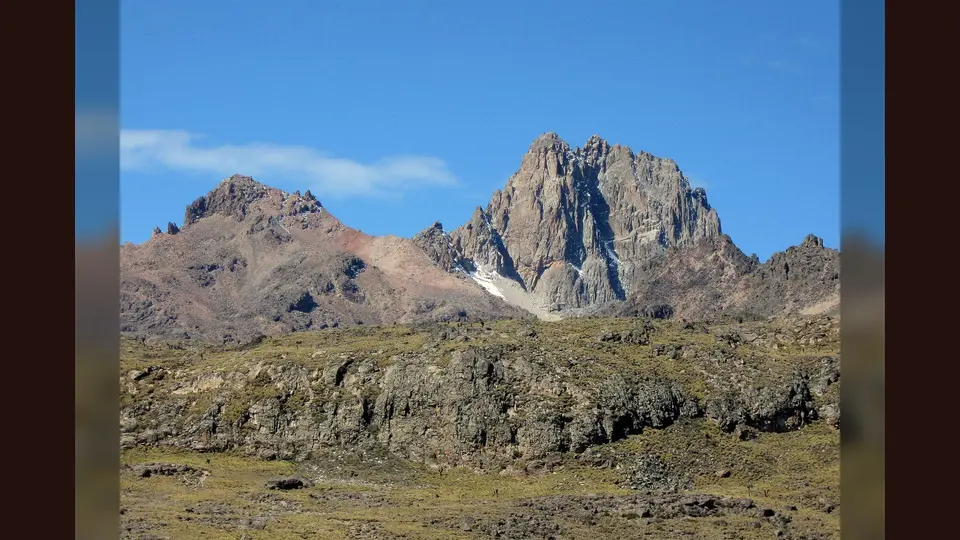
PhotographMount Kenya: left to right: Point Lenana (4985m), Nelion summit (5188), Batian summit (5199m). Commons identifies the three principal Mount Kenya peaks; it does not establish the exact circuit line.
Photo by Franco Pecchio · captured 2008-12-31
File:Mount Kenya Lenana Nelion Batian.jpg by Franco Pecchio · CC BY 2.0

Changes: Resized, re-encoded, and composited on a blurred background by Panya Routes on 2026-08-11
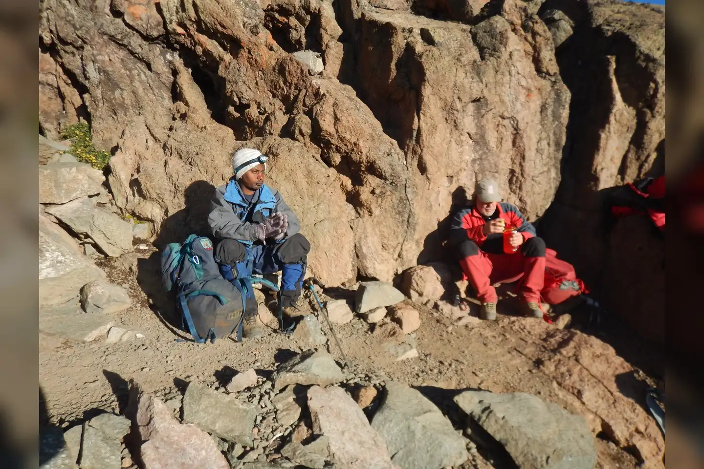
PhotographWay down from Point Lenana. Absorbing sun heat after a chilly summit climb.. Commons identifies a descent from Point Lenana; it is high-mountain terrain context, not a current surface report.
Photo by Mara008 · captured 2015-08-04
File:Descend from Mt. Kenya.jpg by Mara008 · CC BY-SA 4.0

Changes: Resized, re-encoded, and composited on a blurred background by Panya Routes on 2026-08-11
Adaptation license: CC BY-SA 4.0
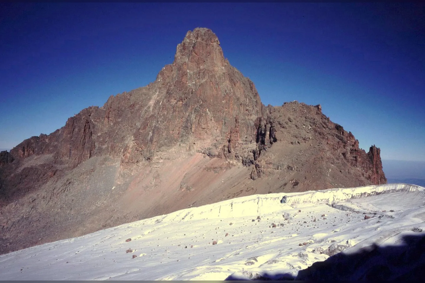
PhotographNelion and the Lewis glacier from Pt. Lenana. Commons identifies Nelion and Lewis Glacier from Point Lenana; it is landmark and hazard context, not a route instruction.
Photo by John Spooner · captured 2009-04-03
File:Nelion and Lewis glacier.jpg by John Spooner · CC BY 2.0

Changes: Resized, re-encoded, and composited on a blurred background by Panya Routes on 2026-08-11
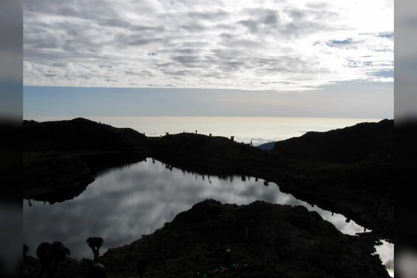
PhotographMount Kenya: morning at Minto's camp. Commons identifies Minto's Camp; it is camp context and does not prove current facilities or availability.
Photo by Franco Pecchio · captured 2008-12-31
File:Mount Kenya Mintos camp.jpg by Franco Pecchio · CC BY 2.0

Changes: Resized, re-encoded, and composited on a blurred background by Panya Routes on 2026-08-11
Take this route offline
Download the line, facts and waypoints before you lose signal. Then follow the route in the app.