
Mount Longonot Crater Rim
On foot
checked 11 August 2026
- Distance
- 6.2km
- Climb
- 590m
- Est. time
- 2:32
Download the line
A GPX file with all 281 recorded points. It opens in Garmin, OsmAnd, Gaia GPS and Panya. It has the line only, with no turn guidance.
About this route
A high-altitude circuit around the rim of Mount Longonot's crater, with steep exposed sections and wide Rift Valley views.
Before you go
Some facts need a new check. We hide old amounts, permits, hours and contacts below.
What it costs
KWS scenic-park conservation fee
Kenya Wildlife Service- East African citizen, adultper person per 24 hours
- KES 500.00
- East African citizen, childper person per 24 hours
- KES 250.00
- Kenya resident, adultper person per 24 hours
- KES 675.00
- Kenya resident, childper person per 24 hours
- KES 350.00
- Non-resident, adultper person per 24 hours
- USD 50.00
- Non-resident, childper person per 24 hours
- USD 25.00
- African citizen, adultper person per 24 hours
- USD 20.00
- African citizen, childper person per 24 hours
- USD 10.00
KWS conservation admission fee in the October 2025 schedule. Activity, vehicle, camping, guide, and other charges are outside this row. Confirm the tariff and effective period before travel.
Current. KWS Conservation Fees, October 2025, checked 11 August 2026. Source
Permits
KWS park admission authorizationRequired
Use the current KWS eCitizen park-entry service or the current KWS entry process.
Current. Mount Longonot National Park visitor information, checked 11 August 2026. Source
When to go
Mount Longonot all-year variable-conditions profile
Current. Mount Longonot National Park official brochure, checked 11 August 2026. Source
Gates, camps, fuel, and services
Longonot National Park Main Gate
The mapped toll-booth node is named Longonot National Park Main Gate. It is the controlled approach to the gate-to-rim trail; the crater-rim circuit itself starts higher on the mountain.
Current. Mount Longonot National Park official brochure, checked 11 August 2026. Source
Oloongonot Public Campsite
KWS lists this public campsite with standard amenities and no prior booking requirement. The mapped point identifies the campsite; confirm current operation and charges.
Current. Mount Longonot National Park official brochure, checked 11 August 2026. Source
Elevation
590 m up, 590 m down
2,400 m to 2,800 m. Estimated from the route line, not from recorded runs.
Along the way
- 0.0 km
Mount Longonot Crater Rim start
Exact first point of the accepted full-resolution GPX.
- 0.0 km
Mount Longonot Crater Rim finish
Exact final point of the accepted full-resolution GPX.
Route visuals
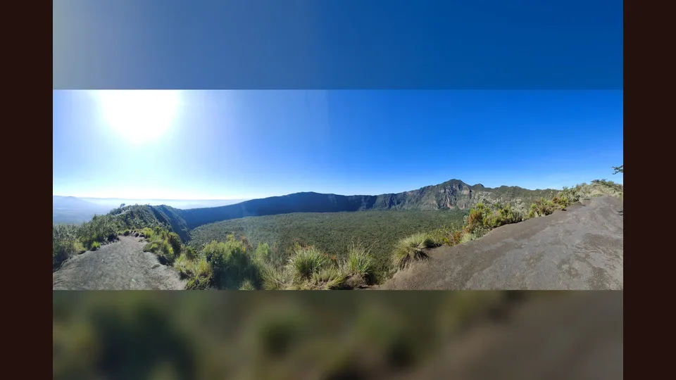
PhotographView of the crater of Mount Longonot, Kenya, December 2024. Crater context at Mount Longonot; the Commons coordinates are inconsistent with the mapped rim, so this is not asserted to be on the route line.
Photo by Baldfatchris · captured 2024-12-07
File:Mount Longonot Kenya 2.jpg by Baldfatchris · CC BY-SA 4.0

Changes: Resized, re-encoded, and composited on a blurred background by Panya Routes on 2026-08-11
Adaptation license: CC BY-SA 4.0
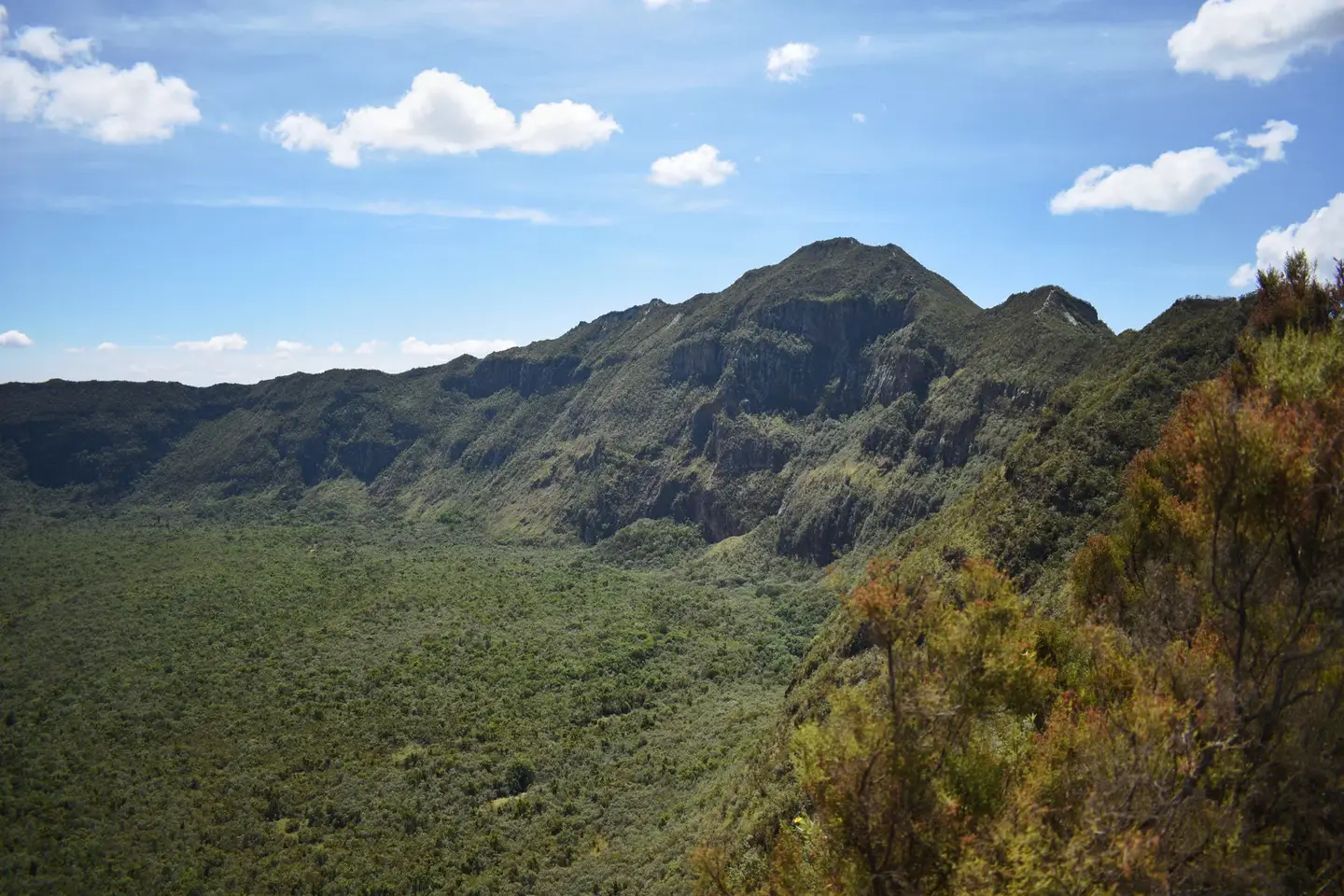
PhotographMt Longonot crater going around it image. Commons describes this as a view while going around the crater; it gives visual rim context but does not verify current trail condition.
Photo by Bett Duncan · captured 2021-12-12
File:Mt Longonot crater image going around it.jpg by Bett Duncan · CC BY-SA 4.0

Changes: Resized, re-encoded, and composited on a blurred background by Panya Routes on 2026-08-11
Adaptation license: CC BY-SA 4.0
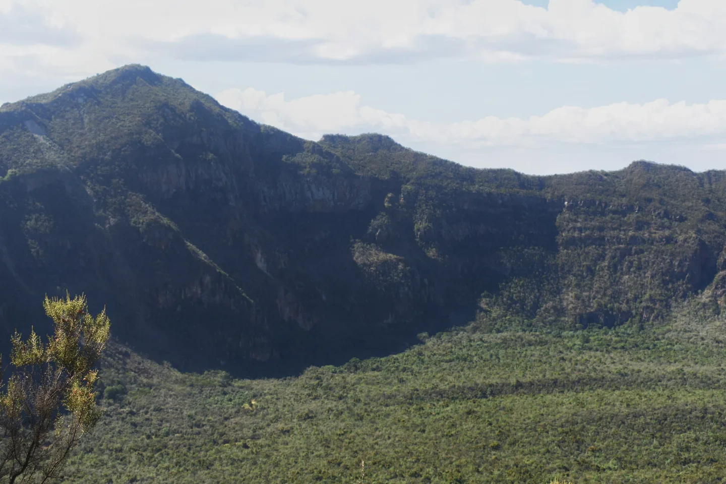
PhotographMt Longonot crater image going around it view,. Commons describes this as a view while going around the crater; it is decision-area context, not proof of a specific junction.
Photo by Bett Duncan · captured 2021-12-12
File:Mt Longonot crater image going around it view.jpg by Bett Duncan · CC BY-SA 4.0

Changes: Resized, re-encoded, and composited on a blurred background by Panya Routes on 2026-08-11
Adaptation license: CC BY-SA 4.0
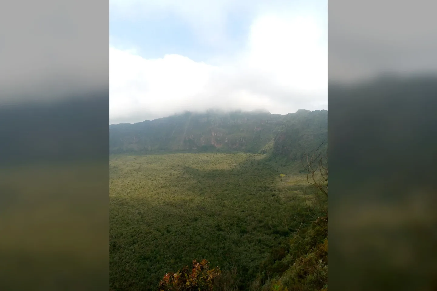
PhotographThe beginning of the journey to go around the crater. Commons describes this as the beginning of the journey around the crater; no gate, parking, or service is claimed to be visible.
Photo by Abdiqathar Ali · captured 2021-06-12
File:Mt Longonot crater pictured from distance.jpg by Abdiqathar Ali · CC BY-SA 4.0

Changes: Resized, re-encoded, and composited on a blurred background by Panya Routes on 2026-08-11
Adaptation license: CC BY-SA 4.0
Take this route offline
Download the line, facts and waypoints before you lose signal. Then follow the route in the app.