
Aberdare Sapper Track: Karimu Bridge to Magura Approach
Drive
checked 12 August 2026
- Distance
- 7.7km
- Climb
- 85m
- Est. time
- 1:04
Download the line
A GPX file with all 146 recorded points. It opens in Garmin, OsmAnd, Gaia GPS and Panya. It has the line only, with no turn guidance.
About this route
A rough 7.7 km drive inside Aberdare National Park from the supplied Karimu River Bridge start onto the mapped Track to Sapper Hut, ending on the Magura Falls approach. The route uses an unpaved grade-three park road and a grade-five dirt track mapped as severely rough. The finish is not Sapper Hut or Magura Falls. Confirm KWS admission and same-day road access, use a capable 4x4, and leave before the 18:00 gate closure. Turn back if rain, wildlife, or track damage makes progress unsafe.
Before you go
Some facts need a new check. We hide old amounts, permits, hours and contacts below.
What it costs
Aberdare conservation fee
Kenya Wildlife Service- East African citizen, adultper person per 24 hours
- KES 800.00
- East African citizen, childper person per 24 hours
- KES 500.00
- Kenya resident, adultper person per 24 hours
- KES 1,100.00
- Kenya resident, childper person per 24 hours
- KES 675.00
- Non-resident, adultper person per 24 hours
- USD 70.00
- Non-resident, childper person per 24 hours
- USD 40.00
- African citizen, adultper person per 24 hours
- USD 40.00
- African citizen, childper person per 24 hours
- USD 20.00
KWS conservation admission fee in the October 2025 schedule. Activity, vehicle, camping, guide, and other charges are outside this row. Confirm the tariff and effective period before travel.
Current. KWS Conservation Fees, October 2025, checked 11 August 2026. Source
Permits
KWS park admission authorizationRequired
Use the current KWS eCitizen park-entry service or the current KWS entry process.
Current. Aberdare National Park visitor information, checked 11 August 2026. Source
When to go
Route-specific current-conditions profile
Stale, check again. OpenStreetMap route snapshot: Aberdare Sapper Hut Track, checked 10 August 2026. Source
Gates, camps, fuel, and services
Mutubio Gate
KWS lists Mutubio as an Aberdare gate. Confirm that KWS directs this route through it before travel.
Current. Aberdare National Park brochure, checked 12 August 2026. Source
Reedbuck Public Campsite
KWS lists Reedbuck as a public campsite in Aberdare National Park. The mapped feature identifies the site; confirm current operation, facilities, access, and charges.
Current. Aberdare National Park visitor information, checked 11 August 2026. Source
Elevation
85 m up, 168 m down
3,000 m to 3,150 m. Estimated from the route line, not from recorded runs.
Along the way
- 0.0 km
Karimu Bridge Start
The supplied route starts near Karimu River Bridge, about 2 km inside the nearest mapped park gate. Confirm vehicle access before entering.
- 6.5 km
Sapper Track Bend
Stay on the mapped dirt track. This point is not a staffed shelter or verified visitor facility.
- 7.7 km
Magura Approach Finish
The supplied finish is an approach point. It is not Sapper Hut or Magura Falls, which is about 500 m away in a straight line.
Route visuals
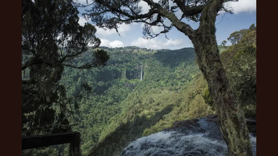
PhotographGura valley seen from the top of Karuru Falls in Aberdare National Park in August 2019. This is regional park context, not a Karimu-Magura waypoint.
Photo by Matteo Frigo · captured 2019-08-23
File:Gura Giant Falls view from the top of Karuru Falls.jpg by Matteo Frigo · CC BY-SA 4.0

Changes: Center-cropped to 3:2, downsampled to 1875 x 1250, and re-encoded as JPEG by Panya Routes on 2026-08-12; no blur, padding, compositing, or upscaling.
Adaptation license: CC BY-SA 4.0
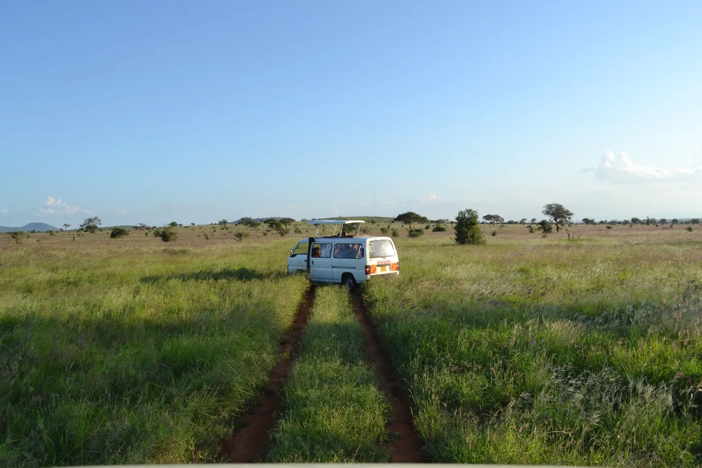
PhotographA game-viewer vehicle on a dirt track in Taita Hills Wildlife Sanctuary, Kenya, in December 2011. General Kenyan 4x4-surface context only; not the Aberdare Sapper track or a current condition report.
Photo by CT Cooper · captured 2011-12-16
File:Dirt road and a game viewer vehicle south of Taita Hills Game Lodge within the Taita Hills Wildlife Sanctuary in Kenya.jpg by CT Cooper · CC BY 3.0

Changes: Downsampled to 1875 x 1250 and re-encoded as JPEG by Panya Routes on 2026-08-12; no blur, padding, compositing, or upscaling.
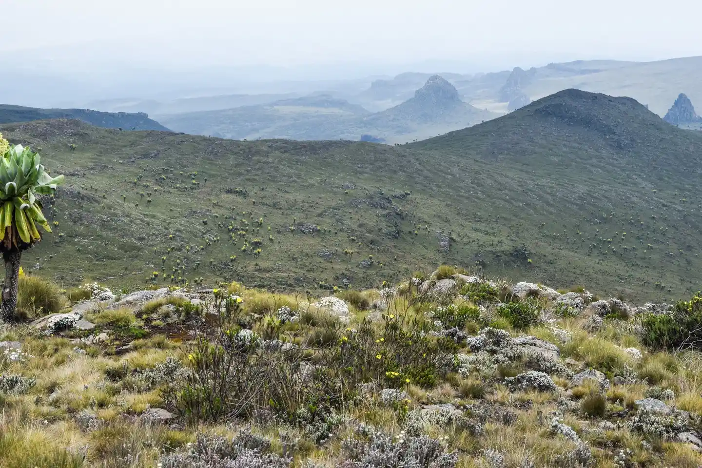
PhotographAberdare National Park moorland photographed in February 2016. Regional exposed-terrain context only; not the Sapper track or a current condition report.
Photo by Nina R from Africa · captured 2016-02-20
File:Aberdare National Park, Kenya (30747173493).jpg by Nina R from Africa · CC BY 2.0
.jpg)
Changes: Center-cropped to 3:2, downsampled to 1875 x 1250, and re-encoded as JPEG by Panya Routes on 2026-08-12; no blur, padding, compositing, or upscaling.
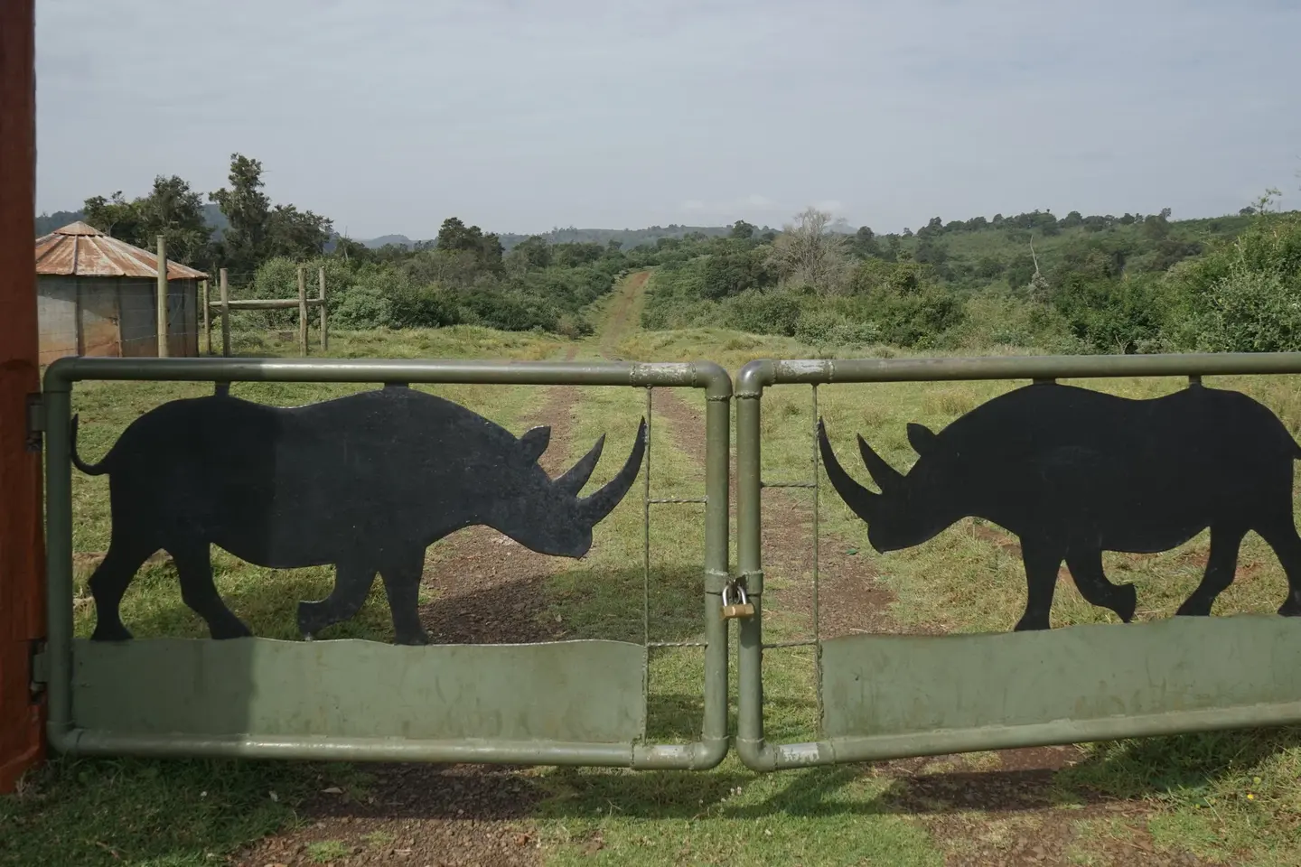
PhotographA rhinoceros-silhouette gate in Aberdare National Park photographed in February 2016. Regional access context only; not identified as the Sapper route entrance.
Photo by Nina R from Africa · captured 2016-02-20
File:Aberdare National Park, Kenya (31198712550).jpg by Nina R from Africa · CC BY 2.0
.jpg)
Changes: Center-cropped to 3:2, downsampled to 1875 x 1250, and re-encoded as JPEG by Panya Routes on 2026-08-12; no blur, padding, compositing, or upscaling.
Can your vehicle do this?
Add your vehicle in the app to get the answer. Download the route before you lose signal.