
Nanyuki-Gathiuru Forest Traverse
Drive
checked 12 August 2026
- Distance
- 39.0km
- Climb
- 781m
- Est. time
- 2:39
Download the line
A GPX file with all 1767 recorded points. It opens in Garmin, OsmAnd, Gaia GPS and Panya. It has the line only, with no turn guidance.
About this route
An approximately 39 km back-road drive from Nanyuki through the Gathiuru Forest Station area to the southern Mount Kenya foothills. The line uses unpaved residential and unclassified roads. The official 2023-2027 Gathiuru management plan records roads that need grading and drainage, some inaccessible sections, and poor-weather access to tourism sites. Confirm with KFS whether public vehicle access is allowed and whether any permit, authorization, or check-in is required before travel. Use a capable 4x4, travel in daylight, stay on open roads, and turn back at any closure or unsafe surface.
Before you go
Some facts need a new check. We hide old amounts, permits, hours and contacts below.
What it costs
KFS recreational forest access
Kenya Forest Service- Citizen or EAC adult, adultper person per day
- KES 200.00
- Kenyan resident adult, adultper person per day
- KES 400.00
- Non-resident adult, adultper person per day
- KES 600.00
Adult day access, exclusive of VAT. Vehicle charges are not included.
Current. Kenya Forest Service fees and charges, checked 12 August 2026. Source
When to go
Gathiuru conditions require current checks
Current. Gathiuru Participatory Forest Management Plan 2023-2027, checked 12 August 2026. Source
Elevation
781 m up, 583 m down
1,800 m to 2,400 m. Estimated from the route line, not from recorded runs.
Along the way
- 0.0 km
Nanyuki Start
Check fuel and weather before leaving Nanyuki. Contact KFS Central Highlands before travel to confirm whether public vehicle access is allowed, whether any permit or check-in is required, and which open access point to use.
- 21.5 km
Gathiuru Forest Station Approach
This is a route decision point near the reported forest-station area. It is not presented as a verified public office or entry gate.
- 34.5 km
Southern Forest Turn
The route turns west here. Stay on an open vehicle road and turn back at a closure or unsafe surface.
- 39.0 km
Forest Traverse Finish
This is the supplied finish coordinate. It is not presented as a verified facility, campsite, or attraction.
Route visuals
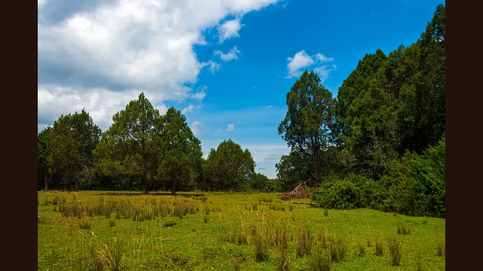
PhotographWoodland and meadow beside the Naro Moru road in Mount Kenya National Park in August 2025. Regional foothills context; not the Gathiuru route line.
Photo by Daniel Case · captured 2025-08-11
File:Woodland and meadow, Mount Kenya National Park.jpg by Daniel Case · CC BY-SA 4.0

Changes: Center-cropped to 3:2, downsampled to 1875 x 1250, and re-encoded as JPEG by Panya Routes on 2026-08-12; no blur, padding, compositing, or upscaling.
Adaptation license: CC BY-SA 4.0
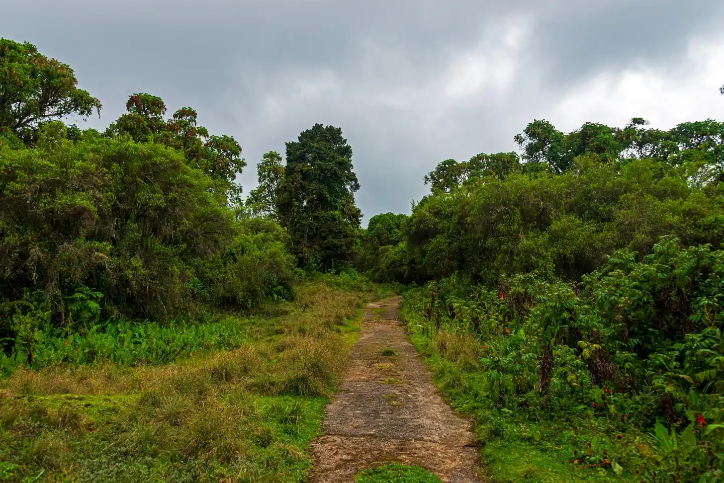
PhotographFormer road now used as the Naro Moru River hiking trail in Mount Kenya National Park in August 2025. Regional forest-track context; not the Gathiuru route line.
Photo by Daniel Case · captured 2025-08-11
File:View down old road to Met Station 2, Mount Kenya National Park.jpg by Daniel Case · CC BY-SA 4.0

Changes: Center-cropped to 3:2, downsampled to 1875 x 1250, and re-encoded as JPEG by Panya Routes on 2026-08-12; no blur, padding, compositing, or upscaling.
Adaptation license: CC BY-SA 4.0
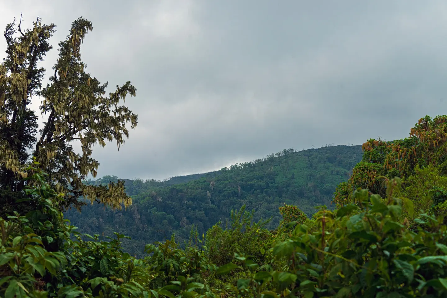
PhotographView across the Naro Moru River valley from a Mount Kenya trail in August 2025. Regional landscape context; not the Gathiuru route line or evidence of its hardest section.
Photo by Daniel Case · captured 2025-08-11
File:View across Naro Moru River valley from hiking trail in Mount Kenya National Park.jpg by Daniel Case · CC BY-SA 4.0

Changes: Center-cropped to 3:2, downsampled to 1875 x 1250, and re-encoded as JPEG by Panya Routes on 2026-08-12; no blur, padding, compositing, or upscaling.
Adaptation license: CC BY-SA 4.0
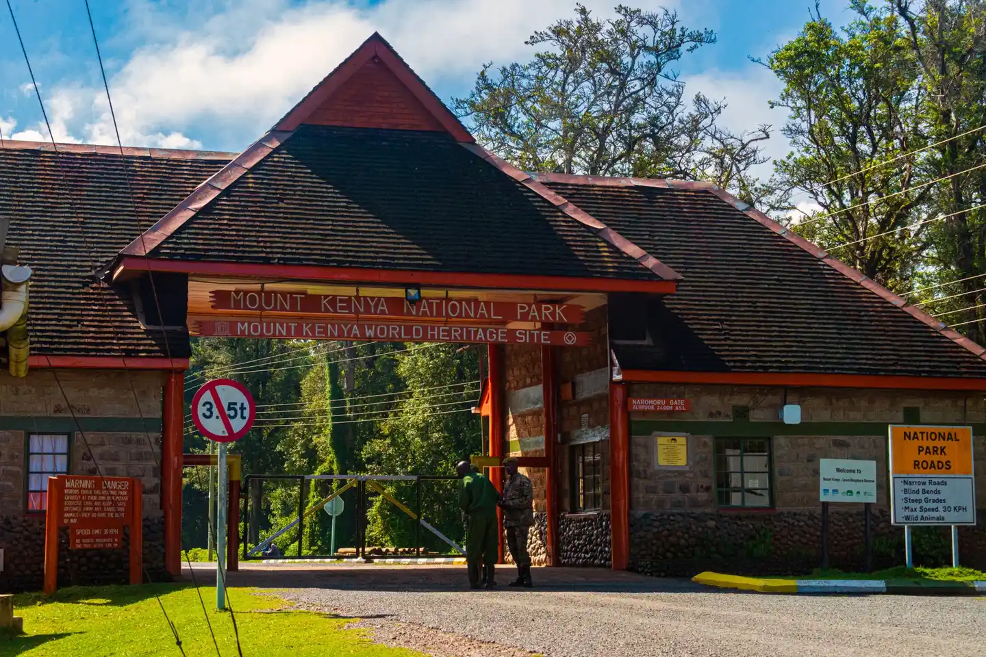
PhotographNaro Moru Gate at Mount Kenya National Park in August 2025. Regional access context; this is not identified as the entrance for the Gathiuru route.
Photo by Daniel Case · captured 2025-08-11
File:Naro Moru Gate, Mount Kenya National Park.jpg by Daniel Case · CC BY-SA 4.0

Changes: Center-cropped to 3:2, downsampled to 1875 x 1250, and re-encoded as JPEG by Panya Routes on 2026-08-12; no blur, padding, compositing, or upscaling.
Adaptation license: CC BY-SA 4.0
Can your vehicle do this?
Add your vehicle in the app to get the answer. Download the route before you lose signal.