
Ngong Hills Ridge Road
Drive
checked 11 August 2026
- Distance
- 10.4km
- Climb
- 71m
- Est. time
- 0:33
Download the line
A GPX file with all 173 recorded points. It opens in Garmin, OsmAnd, Gaia GPS and Panya. It has the line only, with no turn guidance.
About this route
A highland ridge drive across Ngong Hills on rough, weather-exposed surfaces.
Before you go
Some facts need a new check. We hide old amounts, permits, hours and contacts below.
What it costs
Ngong Hills forest recreation entry-fee schedule snapshot
Kenya Forest Service- Kenya or EAC citizen, adultper person per day
- KES 200.00
- Kenya or EAC citizen, childper person per day
- KES 50.00
- Resident, adultper person per day
- KES 400.00
- Resident, childper person per day
- KES 100.00
- Non-resident, adultper person per day
- KES 600.00
- Non-resident, childper person per day
- KES 150.00
Forest recreation entry-fee schedule in Legal Notice 104 of 2012, read with the current KFS page that says a conservation fee is charged and visitors must ask KFS for current rates. Treat the legal amounts as an official schedule snapshot, not a guarantee of the live price.
Current. Forests (Fees and Charges) Rules, Legal Notice 104 of 2012, official consolidated source, checked 11 August 2026. Source
Permits
KFS Ngong Hills forest entry ticketRequired
KFS says entry tickets are available at the entry points. Ask the listed KFS contacts for the current conservation fee and arrangements.
Current. Ngong Hills Forest visitor information, checked 11 August 2026. Source
When to go
Ngong Hills rainfall-aware conditions profile
Current. Ngong Hills Forest visitor information, checked 11 August 2026. Source
Gates, camps, fuel, and services
Ngong Hills ridge-road access point
This is the exact mapped start of the accepted ridge-road route. KFS lists Ngong and Corner Baridi entry points; this record does not assert which named entry the point represents.
Current. Ngong Hills Forest visitor information, checked 11 August 2026. Source
Elevation
71 m up, 146 m down
1,700 m to 1,800 m. Estimated from the route line, not from recorded runs.
Along the way
- 0.0 km
Ngong Hills Ridge Road start
Exact first point of the accepted full-resolution GPX.
- 10.4 km
Ngong Hills Ridge Road finish
Exact final point of the accepted full-resolution GPX.
Route visuals
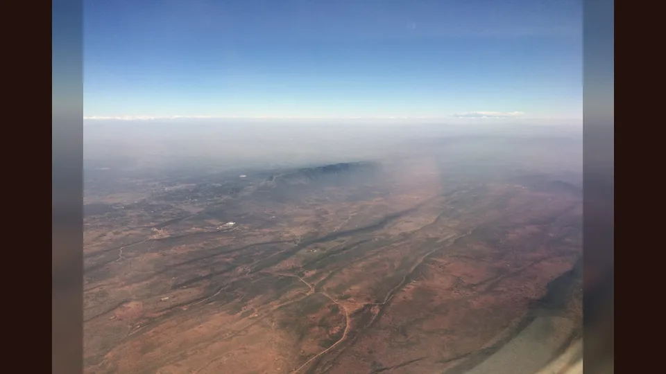
PhotographNgong Hills with the fault escarpments at the edge of the Rift Valley. Commons identifies the Ngong Hills escarpment; it does not establish the exact ridge-road line.
Photo by Mjr74 · captured 2017-01-04
File:Ngong Hills aerial view, January 2017.jpg by Mjr74 · CC BY 4.0

Changes: Resized, re-encoded, and composited on a blurred background by Panya Routes on 2026-08-11
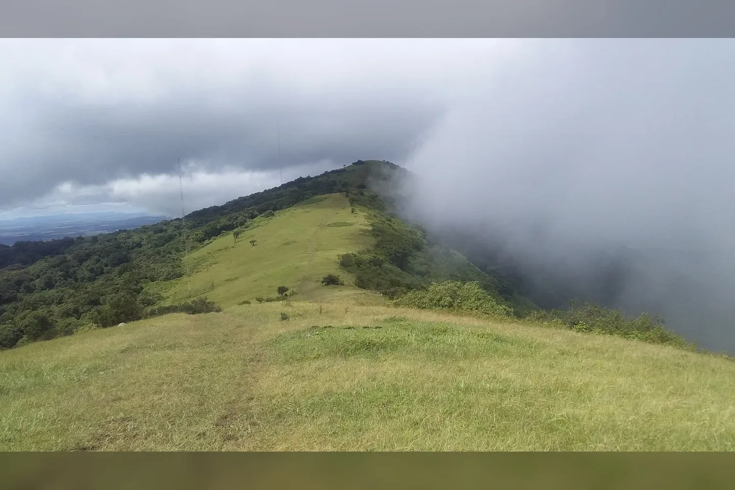
PhotographNgong Hills.. Commons locates this hike on Ngong Hills; it is path context, not a current ridge-road surface report.
Photo by McOkello · captured 2020-05-07
File:Mountain Hike.jpg by McOkello · CC BY-SA 4.0

Changes: Resized, re-encoded, and composited on a blurred background by Panya Routes on 2026-08-11
Adaptation license: CC BY-SA 4.0
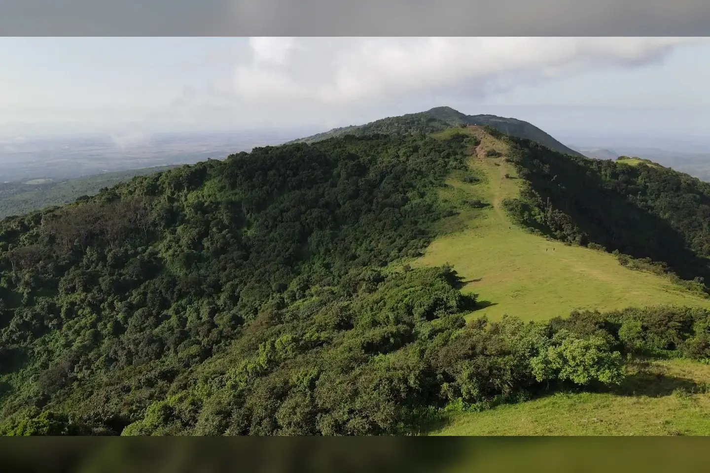
PhotographNgong Hills. The first of the 7 hills. Commons identifies the first of the Ngong Hills; it is landmark context, not a turn instruction.
Photo by Akash Pitrola · captured 2020-06-28
File:First Hill.jpg by Akash Pitrola · CC BY-SA 4.0

Changes: Resized, re-encoded, and composited on a blurred background by Panya Routes on 2026-08-11
Adaptation license: CC BY-SA 4.0
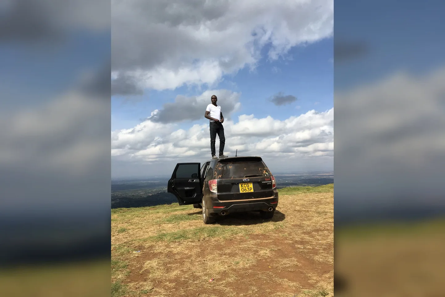
PhotographThis is an image with the theme " Play " from: Kenya. Commons locates a vehicle on Ngong Hills; it demonstrates vehicle context but not public access, parking, or service availability.
Photo by Dennis kipkogei · captured 2018-08-26
File:Ngong Hills with my Subaru.jpg by Dennis kipkogei · CC BY-SA 4.0

Changes: Resized, re-encoded, and composited on a blurred background by Panya Routes on 2026-08-11
Adaptation license: CC BY-SA 4.0
Can your vehicle do this?
Add your vehicle in the app to get the answer. Download the route before you lose signal.